Environmental History Tours at Carpinteria State Beach
By Nicky Rehnberg
Goal:
The primary goal of this tour is to have students understand the cultural environmental history of the local and regional area. In so doing, we want students to understand the following:
- Carpinteria is a confluence point for many migrating bodies.
- Through that migration, Carpinteria has been home to many different humans and animals.
- Carpinteria is a place of colonialism and capitalism and still participates in those practices.
- Because of these practices, environmental degradation has changed the landscape for better and worse.
- Ultimately, we want to foster environmental scientific and historic critical thinking.
START at TOMOL MODEL NEAR VISITOR’S CENTER
What is a tomol?
Here is a replication of a Chumash tomol, The Chumash lived on this land, Mishopshno, for about 13,000 years before the European invasion. Before then, they lived across Malibu (to the south of here near LA), on the Santa Cruz, Santa Rosa, and San Miguel Channel Islands, to San Luis Obispo about 100 miles north of here. Some archaeologists have found artifacts of the Chumash all the way in the Antelope Valley near the Mojave Desert!
It’s important that we start our historical tour on Carpinteria State Beach with the Chumash for a few reasons. One, and arguably the most important reason, is that the Chumash are the first people who lived in this area. History focuses on many different topics — not just big events like wars and political movements —because everything has a past, so everything has a history. What makes history compelling though, and what makes history history instead of other disciplines like archeology or geology, is the people.
That being said, historians have to work with other specialists to understand people of the past. For example, archaeologists have excavated and found evidence from their lives like baskets, spiritual objects, milling stones (to process grains like rice), and other tools. They also have found burial sites. Archaeologists find these items sometimes when they are looking for them — when they have historical proof that makes them reasonably sure they will find artifacts from the past there — and sometimes when they aren’t expecting to — when they check lots of land that become roads or stores.
Ecologists and botanists can also help us understand people of the past, by taking archeologists’ knowledge and looking at the plants that have grown and grow here. Through this work, we know that they ate plants like chia seeds, flowers, and acorns. They hunted animals from the sea and from the land. With archeological work, we know that they used bows and arrows to hunt land animals and tomols, like this one, hooks, nets, fishing line, and harpoons to fish in the ocean.
Archaeologists figure that the canoe first emerged in Chumash communities 2,000 years ago. The Chumash called it a tomol. They would build these by first finding a big log. Typically, they used redwood trees that drifted down the coast. Then, they split the tree and smoothed it into planks. Next, they drilled holes in the planks and sewed them together. But there were still little spaces between the planks where water could get through. They sealed together those spaces using a mixture called yop.
How is it made?
Yop is a mixture of asphaltum and pine pitch. Asphaltum is a sticky tar substance that comes from oil sources underground, under the ocean, and then washes onto the beach. We’ll see some later. The Chumash used this super sticky material to seal like caulk, to fuse the planks. That made the canoe able to go out to sea. Yop was a really good glue and the Chumash used it to plug holes, create basketry, and stick sharp points onto arrow shafts.
Tomols are the oldest examples of seaworthy boats that we have from North America. The Chumash used them to travel about thirty miles to the Channel Islands. They typically measured between 12 and 18 feet long and 4 feet wide and carried from 3 to 12 people.
Why were tomols special to the Chumash?
Tomols were really expensive and took a lot of time to make. We know that only community leaders and wealthy members of Chumash communities had the ability to pay for them. Some archaeologists believe that the Chumash protected the knowledge of how to make these canoes, so that only certain people knew how to do it. Since crossing to the islands could be dangerous, they had to have skills so that you could do a good job. These canoes were so special that sometimes Chumash community members were buried in them.
The Chumash did quite a bit of trading with one another, thanks in part to these canoes. They used shell beads as money to trade for goods. Chumash households located on the northern Channel Islands, all the way over there, specialized in making these beads. The Chumash used more than 20 types of shells to make these beads and then they would use them to purchase goods they needed.
The Chumash people continue to build tomols today and sail out to the Channel Islands on special occasions. There are 14 bands of the Chumash Nation today, the closest to Carpinteria State Beach being the Santa Ynez Band of Chumash Mission Indians of the Santa Ynez Reservation and the Barbareno Chumash.
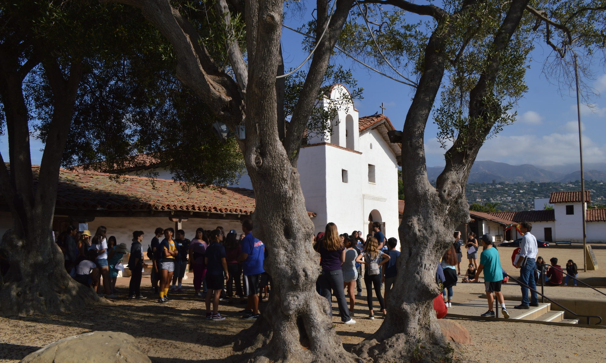
WALK to BOARDWALK
What is the name of this state park? Carpinteria State Beach! This area got its name La Carpinteria in the 1760s. Does anyone want to guess why? Does anyone know what the word “Carpinteria” means? It means “carpenter shop.” When the Spanish arrived here, they saw tomols being built. In their letters and diaries and reports, they often talked about how well-made they were. They admired the Chumash for their abilities to make canoes, so much so that they renamed this place Carpinteria.
Where the Spanish the first to visit Carpinteria? How did the Spanish get here in the first place?
To the first question, we are not sure, because there has been some evidence that indicate that Polynesians visited the Chumash between 400 to 800 CE. Linguists, specialists in language, have found connections between the Polynesian word “kumula’au,” developed into “tomolo’o” which means “sewn-plank canoe,” like the replica we just saw. Also, tomol construction is very similar to the Polynesian version of their canoes. The Polynesians collaborated with the Chumash and did not conquer and settle. The Spanish did.
The first Europeans to see the Carpinteria coast were part of a sea voyage led by Juan Rodriguez Cabrillo, a Spanish soldier and explorer. In 1542, he and his fellow travelers visited Mishopshno. According to their travel logs, Chumash men got into their tomols and paddled out to the ships to trade with the Spaniards. Cabrillo noticed that about 12 men fit into the canoes. Many Spanish voyagers also noticed these canoes and the asphaltum that the Chumash used to seal them off and they were impressed with the construction.
Does anyone know why the Spanish came here? The Spanish came to spread their Catholic beliefs and colonize the land on behalf of the Spanish king and queen.) The Spanish built missions (churches) and presidios (forts) to try and control this land. All the lands were owned by the Spanish Crown and in part the Catholic Church, technically. Some Europeans traveled here by boat along the coast. Others traveled by foot, some all the way from present-day Arizona.
One of the ways the Spanish Crown controlled this area that’s now Southern California is through the Mission System. The Spanish created six missions in Chumash territory from 1772 to 1817 : Mission San Luis Obispo, Mission La Purisima, Mission Santa Ynez, Mission Santa Barbara and Mission San Buenaventura.
The area of Carpinteria was under the control of Mission Santa Barbara because it was the closest. The Spanish wanted to teach the Chumash new agricultural techniques, like raising cattle and farming, but they mostly to convert them to Catholicism and control the Chumash land. Many Chumash left their settlements after being forced by the Spanish to join the missions. The Spanish converted a large but unknown number of Chumash to Catholicism in nearly four decades.
Spanish invasion and the Mission system had a big impact on Mishopshno. When the Spanish came, they brought food and plants that had never been introduced to this area. This impacted the local environment, with local animals having new plants to eat but also new animals to potentially eat them. The Spanish also brought diseases that the Chumash had never been exposed to, which killed many who lived here.
This was deadly for many Chumash, but it’s important to know that they fought back against the Spanish.
In 1821, Mexico gained independence from Spain, and this land became a part of Mexico. Then, the lands previously owned by the Catholic Church were divided up into smaller pieces of private property, owned by individuals. The Mission System was abandoned. As mission land was divided into smaller pieces, the Chumash had to find new places to live and get jobs as servants and workers on new cattle raising areas called ranchos. Cattle ranching became the primary industry here during the Mexican period. This new system made it difficult for the Chumash to preserve and practice traditional customs.
In 1824, the Chumash revolted in three of the missions (Santa Ines, Santa Barbara, and La Purisima). Most of the Santa Ines Mission Complex was burned down. The Chumash withdrew from Mission Santa Ines upon the arrival of military reinforcements, then attacked Mission La Purisima from inside, forced the garrison to surrender, and allowed the garrison, their families, and the mission priest to depart for Santa Ines in peace. The next day, the Chumash of Mission Santa Barbara captured the mission from within without bloodshed, repelled a military attack on the mission and retreated from the mission to the hills. The Chumash continued to occupy Mission La Purisima until a Mexican military unit attacked people on March 16 and forced them to surrender.
At the same time, some Chumash continued to live in the way that they did before the Spanish arrived. This area continued to be their home. They still held important religious feasts, for example. Chumash women would make baskets used to process and serve food. They would enjoy dishes like swordfish, which was a delicacy. The Chumash also still made and exchanged those shell beads that we talked about earlier.
While conquest had some terrible and lasting consequences for the Chumash, it’s also important to know that conflict occurred in Chumash communities long before the Spanish arrived. People hurt each other. This is unfortunately something people do. Violence also occurred because of disputes over food and other resources. We know that there were many droughts in the years before the Spanish invaded, and that caused more warfare because resources were scarce.
WALK to JELLY BOWL SEATING AREA
Along the coast of California, mostly in Southern California, there are a number of asphalt deposits. These deposits are evidence of ancient organisms that lived in this area and are the remains of ancient algae and other marine organisms that lived millions of years ago. After these animals died, their remains ended up at the bottom of the body of water where they lived. They eventually got buried deep into the earth, under layers and layers of plants and sediment and other dead organisms. Their deep burial created enough pressure and heat to turn them into asphalt.
Here, at Carpinteria State Beach, the asphalt deposits bubble up to the surface to create an asphalt lake. There are only five natural asphalt lake areas in the world. Another one is the La Brea Tar Pits in Los Angeles.
The Chumash have used asphaltum to seal their boats and make it possible to take them on the water for thousands of years, like I mentioned earlier. In the 1800s, other groups came to mine asphalt. The first attempt to mine asphalt here occurred in 1857. A larger mining project began in 1875, when a company from San Francisco called the Crushed Rock and Asphaltum Company hired around 40 people, all men, to work here. Historians estimate that as many as 200 men worked in the mines. We don’t know much about these workers or where they came from, but we do know that they lived on the property in barracks and spent time in the saloons that were built for them. Women were not employed by the company, and very few wives and mothers joined their husbands or sons. The asphalt mined in Carpinteria was used to pave streets, line canals, and make printer ink and paints.
Initially, miners used shovels to dig along the beach for asphalt. Later on, they dug deep shafts, or deep, upright tunnels, into the asphalt seep. These shafts would fill with liquid asphalt and with sand. After that, miners used hot shovels to dig out the mixture and put it into carts. Those carts would take the asphalt to a refinery, where the asphalt was heated up and separated from the sand using saltwater. Most asphalt mining operations ended in the 1920s.
Another big industry of this area that’s related to Carpinteria’s abundance of asphalt is oil production, which has been active for nearly 120 years. While we can only see a few rigs, also known as derricks, out in the Santa Barbara Channel, each rig has hundreds of wells and pipes sucking oil out.
In the early 1900s, several wells were drilled close to this beach. All oil drilling slowed during World War II, in part over concern if the California coast would be attacked as part of the Pacific Theater. By the late 1940s, the California State Parks Department filled in the asphalt pits and mining areas and built camping facilities on top.
Even though the mines are gone, we can still see their effects on Carpinteria. Mining caused effects that can still be seen today—the first is coastal erosion. Without natural barriers like coastal grasses or human-built structures like walls and boardwalks, the shoreline of Carpinteria would look very different and it would be very hard to camp!
With so much oil production, oil spills are bound to happen. Even though there are fewer rigs on the coast of Carpinteria than in other parts of Santa Barbara County, the consequences of when oil spills north or south of here is drastic. The third largest oil spill happened outside of Santa Barbara in January 1969, and 80,000 to 100,000 barrels of crude oil poured out into the Santa Barbara Channel. Oil spread all over the county and killed an unimaginable number of sea and land animals. The biggest forest in California is our kelp forest in the Santa Barbara Channel that experienced serious die-off during the spill, and the oil that washed on shore impacted land plants as well.
WALK to SITTING AREA NEAR LIFEGUARD TOWER
Monarch butterflies migrate to and from the vicinity of this park each year. In the fall, monarchs travel from their summer homes in the northern US and Canada to winter habitats in California and Mexico. The entire trip is about 3,000 miles. But the monarch’s migration patterns are changing and the population is being threatened.
All of the human activities that we have discussed today have had a detrimental impact on the environment of Carpinteria State Beach. Plants from every continent except Antarctica are found in the park. But most of the plants you have seen on our tour are introduced species, which means that they did not grow here originally but were brought here by humans, either by accident or on purpose. Introduced species at Carpinteria include eucalyptus and the Hottentot fig, or ice plant. The ice plant is what you see covering most of the sand dunes. This plant helps to keep the sand from sliding off, but it is considered an invasive species.
Invasive species are not the only problem. So is climate change and habitat loss. The monarch butterfly is a perfect example. Monarch butterflies lay their eggs on milkweed, and monarchs eat milkweed while they are in the caterpillar stage. It is their only source of food when they are caterpillars. Unfortunately, farmers want to get rid of milkweed because the plant makes it more difficult to grow things that make more money like corn and beans. So the farmers use herbicides that destroy the milkweed. As a result, the monarch butterflies cannot lay their eggs, and the monarch caterpillars cannot eat. Also, people are destroying the forests where monarchs like to hang out.
Climate change is having a big impact, too. Increased carbon dioxide levels in the air make milkweed butterfly food inedible. Milkweed contains a toxic substance called cardenolides. The monarchs have evolved to be able to consume this substance, and its presence in their bodies actually helps them keep predators away. But higher temperatures on the earth makes milkweed produce more toxins than normal. The levels are too high for the monarchs.
Lastly, as temperatures go up, the monarchs have to go further and further north to mate and have to travel a farther distance to get back to their winter home in Mexico. One researcher has noticed that this change has led to bigger monarch wings because they need them to travel farther distances.
But there are ways that you can help! Scientists say that if you plant milkweed at home, you can help provide food for a monarch butterfly. Also, you can become a Junior Ranger to become more involved in protecting our state parks
WALK to FADING MEMORIES INTERPRETIVE SIGN
As mining and oil drilling stopped, new activities started to become more common at this beach. In the each 1900s, cities like Los Angeles began to get larger and larger. Also, companies started giving their employees the weekend off, and cars began to get more affordable. Something else is happening at this time. The Pacific Coast Highway, or PCH, is being built. All of these changes made Southern California beaches became attractive, easy to get to. At first, people would drive here and camp along the coast in areas that did not have any restrooms or showers or anything!
As more people began to travel to Carpinteria, the people who lived here thought, “Hey, let’s try to get people to come to OUR beach and spend money in our stores.” They used advertisements and postcards to make Carpinteria look like the best, most attractive beach. In 1922, a campground opened. This campground had plumbing, a grocery store, and a place where you could rent bathing suits. Carpinteria earned the reputation as the “World’s Safest Beach” because of its amenities and the generally mild waves.
They built so much tourist infrastructure at the state beach that at one point, they even built a two-story clubhouse with a fancy dining room, a lounge, a kitchen, and a dressing room with lockers. The Cerca del Mar Clubhouse had a porch, where you could go and get a great view of the ocean. It had a porch that people would use the pier to fish off of. It cost $100 per family to be a member of this club, and people could only become a member if you got an invitation to join. Apparently, they didn’t get many takers, because the club went bankrupt in 1929. But the clubhouse building remained and was used for boys and girls camps in 1946.
This area officially became Carpinteria State Beach in 1932, when Santa Barbara County and the State of California purchased the 21.2 acres of land. In the 1930s, government programs funded improvements to the beach, including a water supply system, picnic tables, restrooms, campground facilities, and a new parking area. How much do you think it cost to park in those days? 25 cents!
Today, the four main campgrounds here are named for the four main Channel Islands: Anacapa, Santa Cruz, Santa Rosa, and San Miguel.